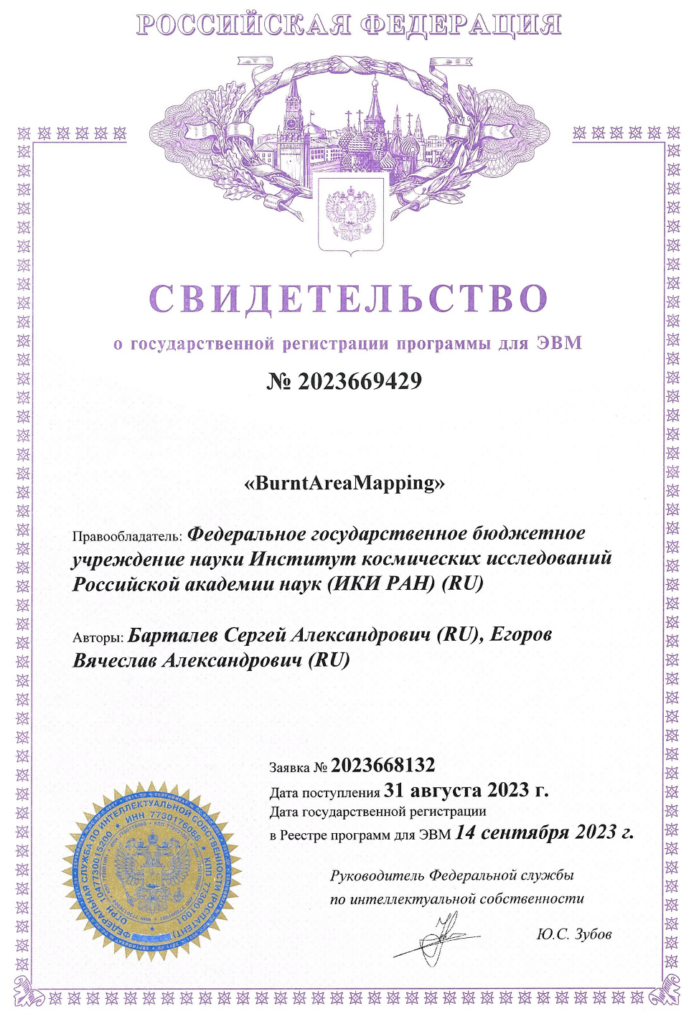
Annotation: BurntAreaMapping software program is designed to construct time series of data reflecting areas of vegetation covered by fire. The construction is based on the analysis of the interannual dynamics of the SWVI index. The software consists of a number of blocks:
– forming the areas of changes in vegetation cover based on the interannual dynamics of the index; – spatial intra-annual filtering of masked areas; – excluding the burnt areas of previous years, water bodies and urbanized areas; – generating the intra-annual data on thermal anomalies; – comparing the data on thermal anomalies with areas of changes in vegetation cover; – exporting the coordinates of areas of change confirmed by thermal anomalies into text format.
