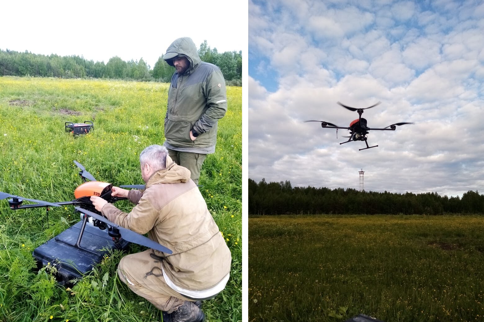
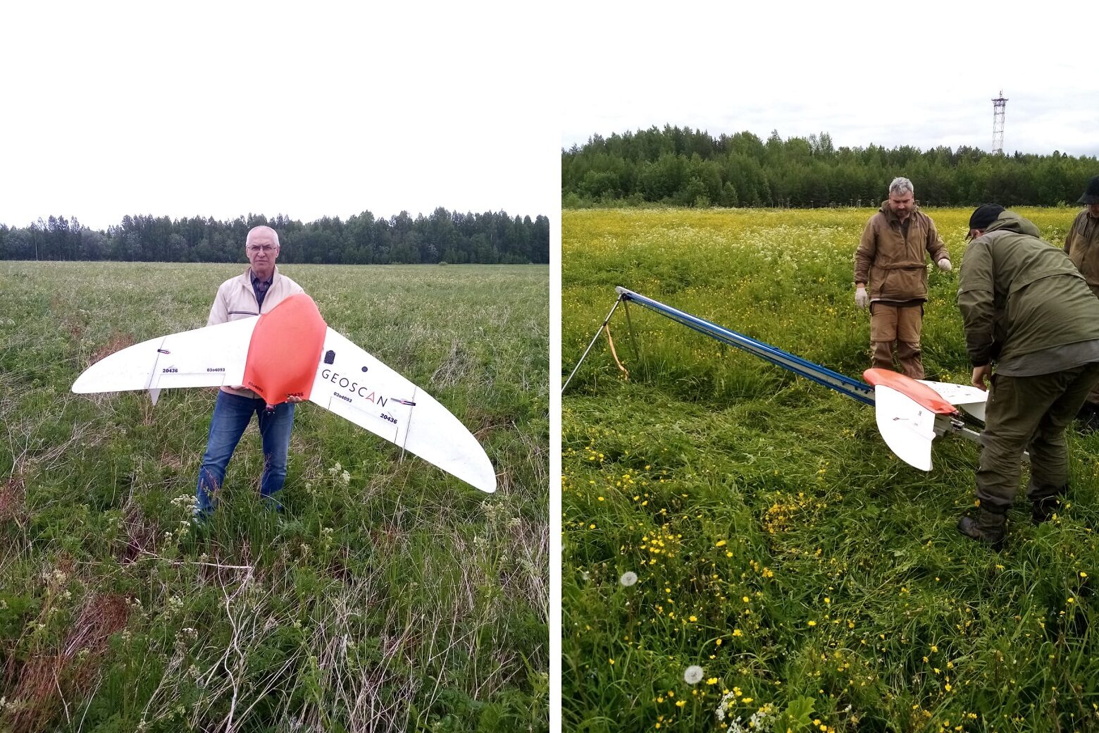
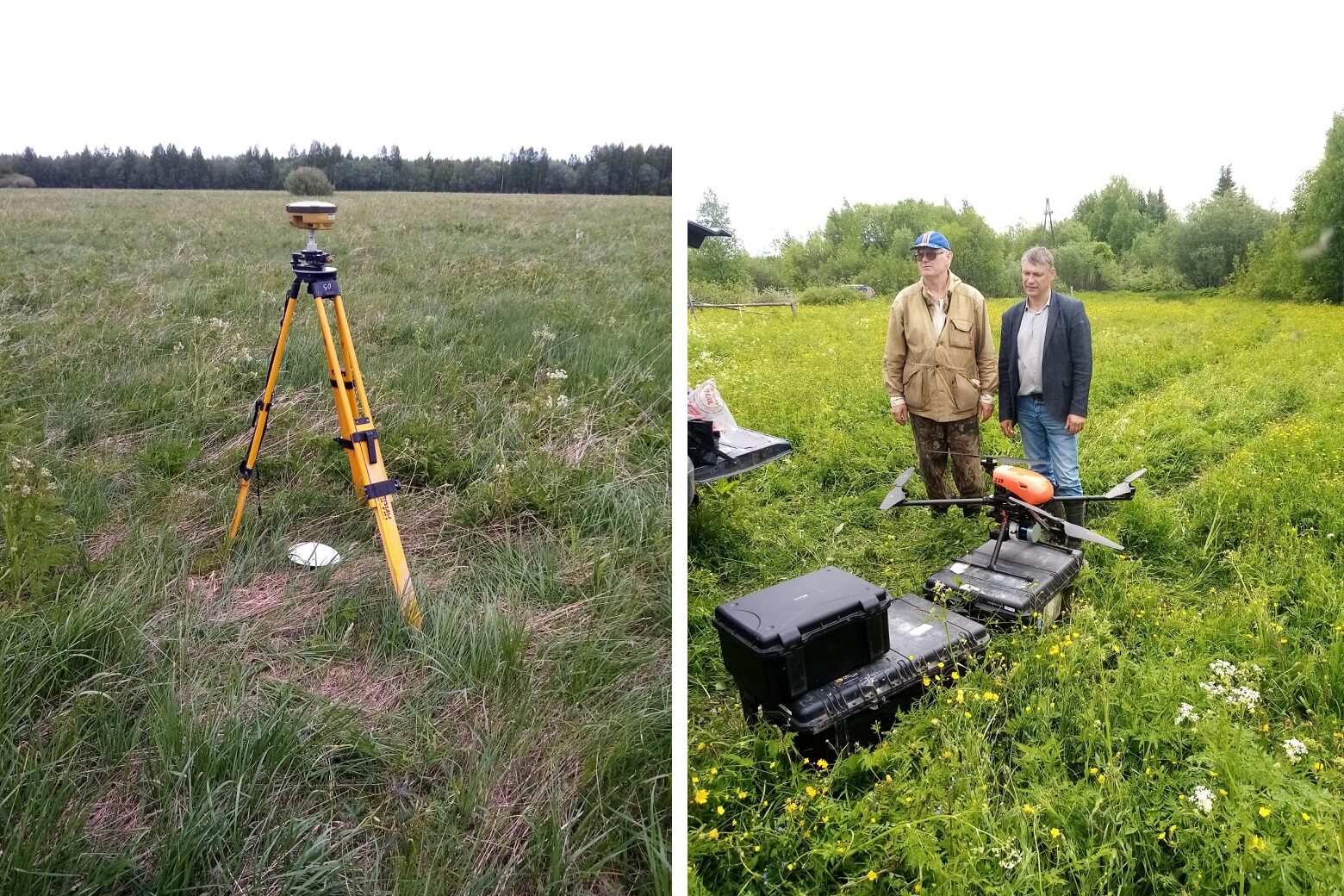
In the summer of 2023, the UAVs flights operated on four intensive test sites. At each site of 4.00 sq.m. area, digital, multispectral aerial photography and laser scanning were carried out.
| Republic of Karelia | test site of the of the Kivach State Nature Reserve | 05/29 – 06/02/2023 |
| Komi Republic | test site of the Federal Research Center of the Ural Branch of the Russian Academy of Sciences | 06/07 – 07/09/2023 |
| Khanty-Mansi Autonomous Area | test site of the Yugra State University near the Mukhrino field station | 06/16 – 07/21/2023 |
| Nizhny Novgorod Oblast | test site of the Center for Forest Ecology and Productivity of the Russian Academy of Sciences near the Svintsovo Settlement | 06/07 – 07/09/2023 |
Processing of the aerial photography and laser scanning data will result in:
- true ortophoto as .GeoTIFF files (Unsigned 8-bit) with min. 5 cm space resolution in WGS 84 / UTM, min. position accuracy 50 cm;
- CIR ortophotomaps (Nir, Red, Green) as .GeoTIFF files (Unsigned 8-bit) with min. 20 cm space resultion in WGS 84 / UTM, min. position accuracy 50 cm;
- digital terrain model (DTM) as a single-channel .GeoTIFF image (Float 32-bit), with the absolute height of the underlying terrain in meters, min. 10 cm space resolution in WGS 84 / UTM, min. position accuracy 50 cm;
- digital elevation model (DEM) as a single-channel .GeoTIFF image (Float 32-bit), with the absolute height of the underlying terrain in meters, min. 10 cm space resolution in WGS 84 / UTM, min. position accuracy 50 cm;
- projects for photogrammetric adjustment of photographic images;
- clouds of laser points (WGS-84, ellipsoid height) as LAS 1.2;
- balanced, classified cloud of project points divided into 1000×1000 m blocks in the WGS-84 / UTM coordinate system;
- digital elevation model with resolution min. 10 cm in height;
- digital terrain model with resolution min. 10 cm in height.